Climate change is an issue for the distant future, isn’t it? With discussion of impacts in future years like 2050 and 2100 there has – until recently – been no real sense of urgency to act; after all 30 and 70 years are ages away. But for many low lying island and coastal cities, the impact of climate change has been felt for 20 years and the global decisions made now will significantly affect the future of these places – in some cases their very existence.
The climate impact we refer to is sea-level rise and areas that are and will be most affected are already implementing mitigation and adaptation plans to tackle the risks they are likely to face. While cities like Miami and London have capacity and resources for sophisticated plans, poorer cities and low lying islands states are doing what they can. However, irrespective of the sophistication of adaptation policy, all coastal policy-makers rely on mean sea level projections. These can be global or local but all suffer from large uncertainties associated with incomplete knowledge about how the Earth system might change through time.
To better understand what drives the uncertainty, Svetlana Jevrejeva, with Luke Jackson and colleagues reviewed the current methodology employed in making probabilistic sea-level projections. The projections considered in this review framework were based on climate change emission scenarios. While short term projections tend to project similar sea-level rises across all scenarios (from strong mitigation to business-as-usual), things get more complicated when passing 2050. Long-run projections diverge between low and high emissions scenarios primarily because it is difficult to determine what might happen to ice loss in Antarctica and Greenland, and in particular how sensitive this could be to escalating emissions.
Scientists are certain about one thing; human activity is driving the unprecedented rise in sea level and even if drastic measures are put into place now to limit warming, some level of rise is already locked in. There is some speculation that current projections are in fact too conservative and levels will be higher than anticipated.
Pairing this with an increase in projected extreme weather events means that locations with little current risk will see higher risks, and those with higher risks will be even more heavily impacted. Though it seems small, a sea level rise of even a few centimetres means more frequent flood events. However, the differences in projections are such that some places could be looking at an average of up to a meter higher sea levels than what is currently forecasted.
This does not mean sea-level projections are a waste of time; they are the product of a currently incomplete model of the problem – and as such our best estimate (see the recent IPCC Special Report on Oceans and Cryosphere for a 1000-page update to the IPCC’s Fifth Assessment Report). But, the model is becoming more complete as we better understand physics of the problem. These puzzle pieces include:
- accounting for coastal processes like vertical land movement and oceanic changes
- inform about future changes in extreme water levels
- broaden timescales to include relevant dates for adaptation other than 2050 and 2100
- assess uncertainties that exist between the decision making process and sea level science that are relevant to those areas
While some level of uncertainly will always exist in sea-level projections, narrowing the range will be hugely beneficial in adaptation planning. It will mean the difference between cities like Miami planning for a sea level rise of up to 60 cm or nearly double that amount. For places like this with low lying coast line and a history of serious extreme weather, uncertainty and under-preparedness could result in significant negative social and economic impacts.
Angela Wenham, Centre Manager, Nuffield College
Luke Jackson, Research Fellow, Nuffield College
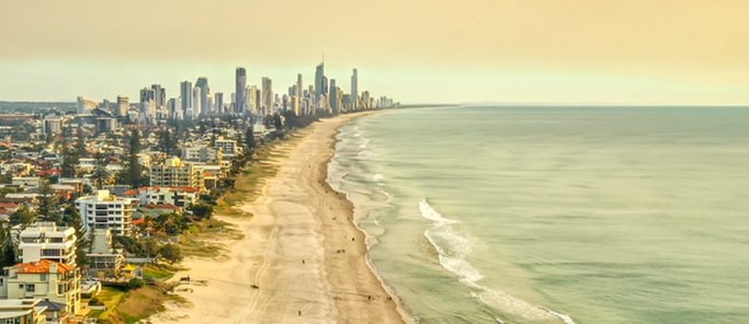
Photo by Michael Glass on Unsplash


